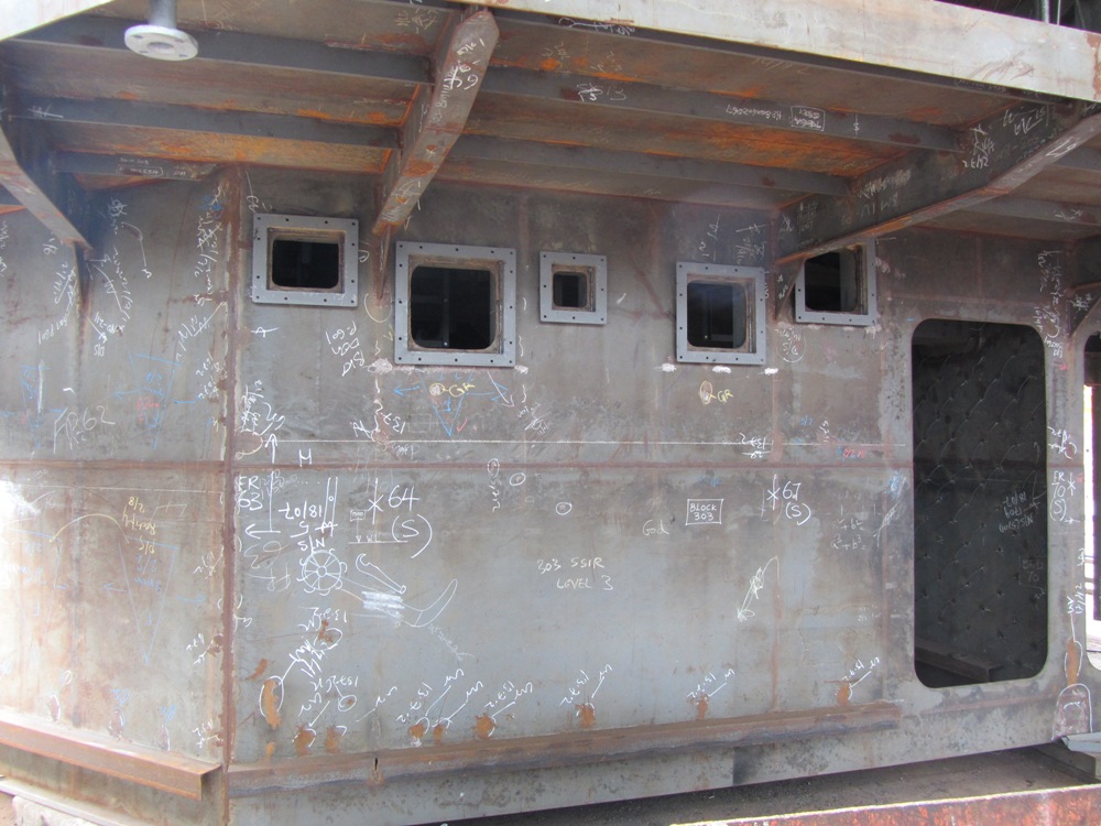
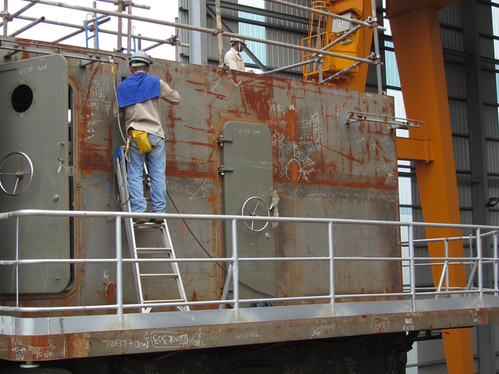
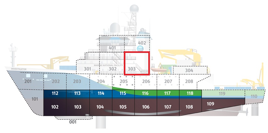
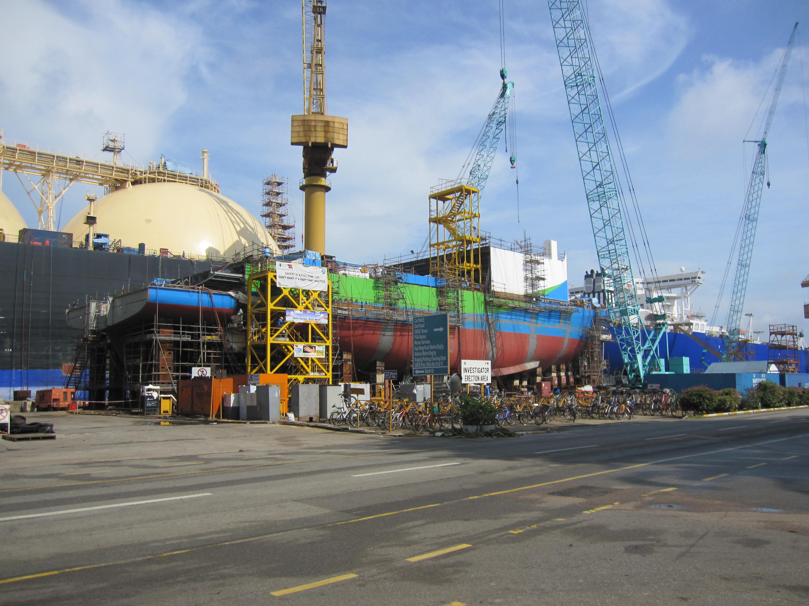
In November, after seeing so many keel blocks, it was great to finally have some doors on show! We were up to block 303 on RV Investigator, which is up above the deck.
The ABC kindly gave us permission to post this audio, which was recorded during an interview with Dr Bernadette Sloyan, when we opened up Southern Surveyor, the current Marine National Facility vessel, for free public tours in Darwin. Dr Bernadette Sloyan spoke to Drive Presenter, Vicki Kerrigan, from 105.7 ABC Darwin If you missed the interview you can listen to it here:
More information on the outside broadcast can be found here: http://www.abc.net.au/local/photos/2012/10/12/3609801.htm.
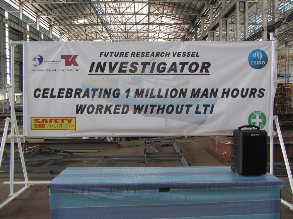
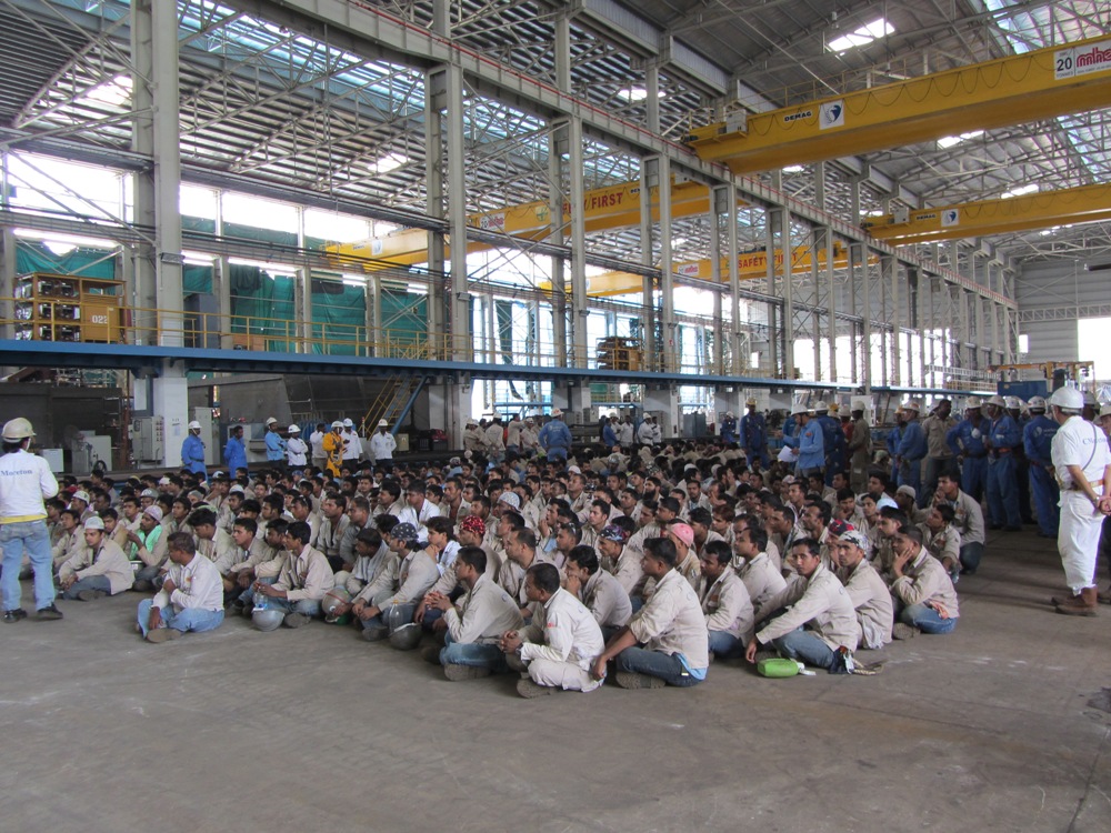
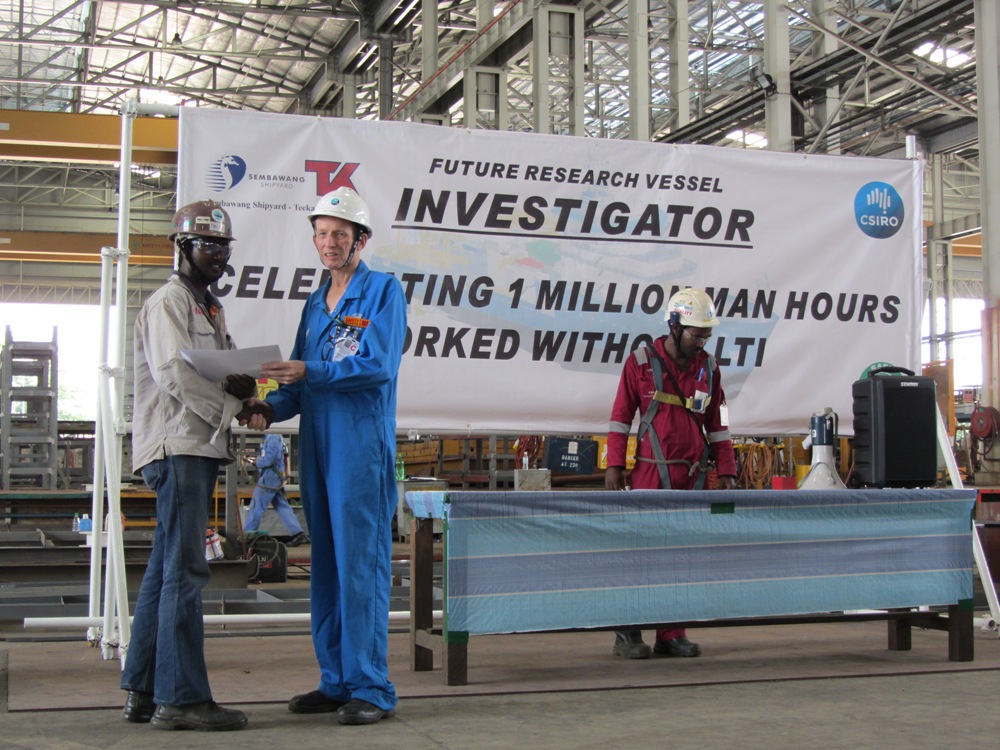
In the shipyard we celebrated 1,000,000 man hours worked without a loss time injury. A lot of effort is being put in to making sure that during the construction of Australia’s new Marine National Facility research vessel, Investigator, the site is a safe place to work. Congratulations to Teekay Australia, Sembawang Shipyard and the CSIRO Site Team in Singapore.
The details from Australia’s Marine National Facility’s 2014-15 application process for sea time on Investigator were released, with 28 applications received for sea time, representing over 836 days of ship time. An excellent result! The Marine National Facility Steering Committee put out a communiqué to update the scientific community, and the full text is available at: http://www.marine.csiro.au/nationalfacility/news/index.htm
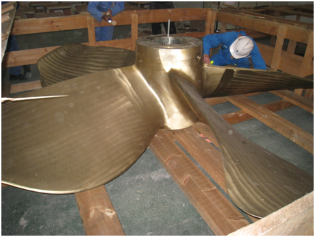
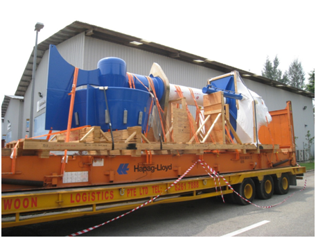
Block 204 was blasted, painted, moved to the wharf area and lifted into place, changing the whole look of RV Investigator and the propellers and the retractable bow thruster, which is like a propeller on a stem, arrived at the shipyard.
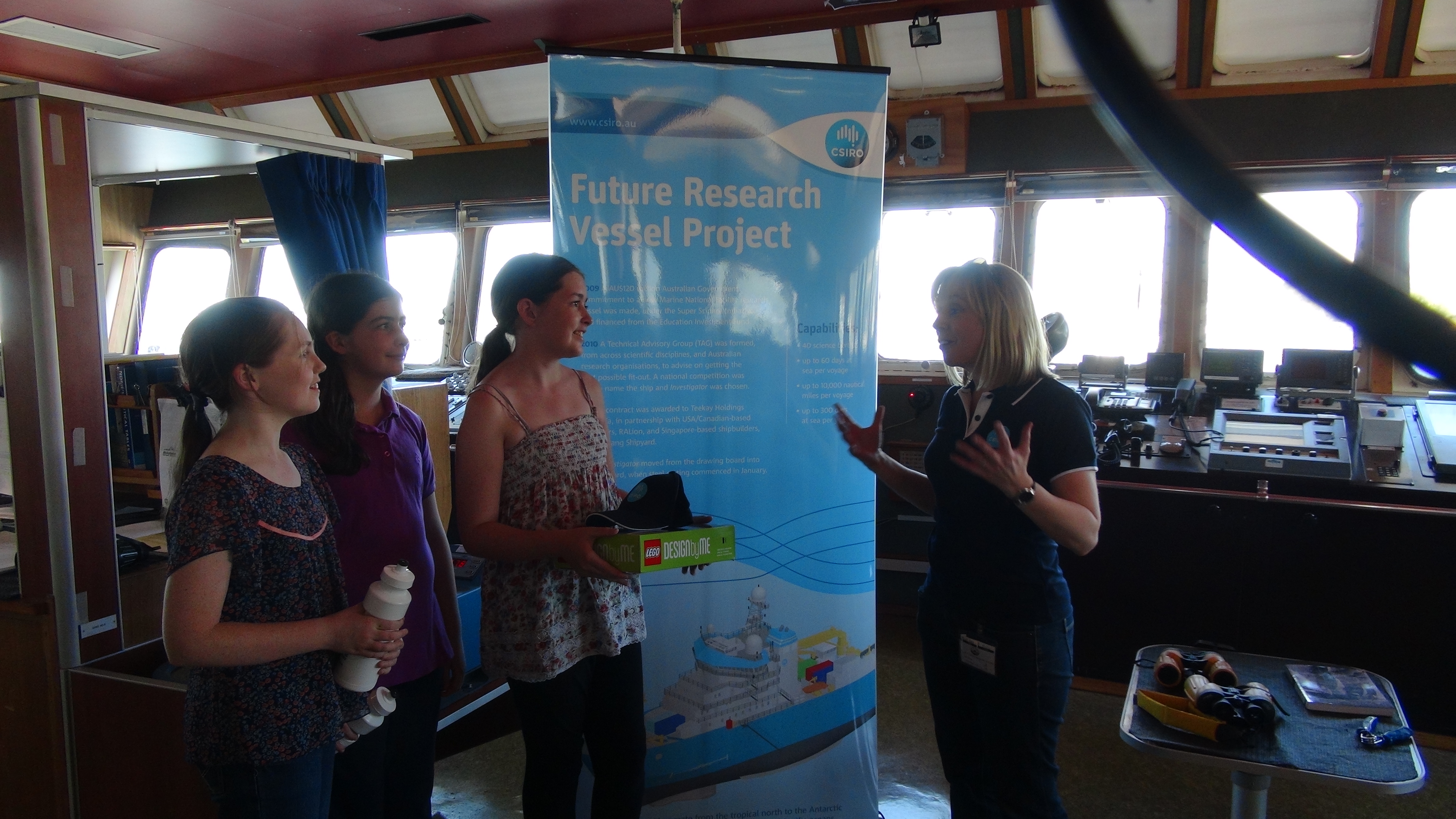
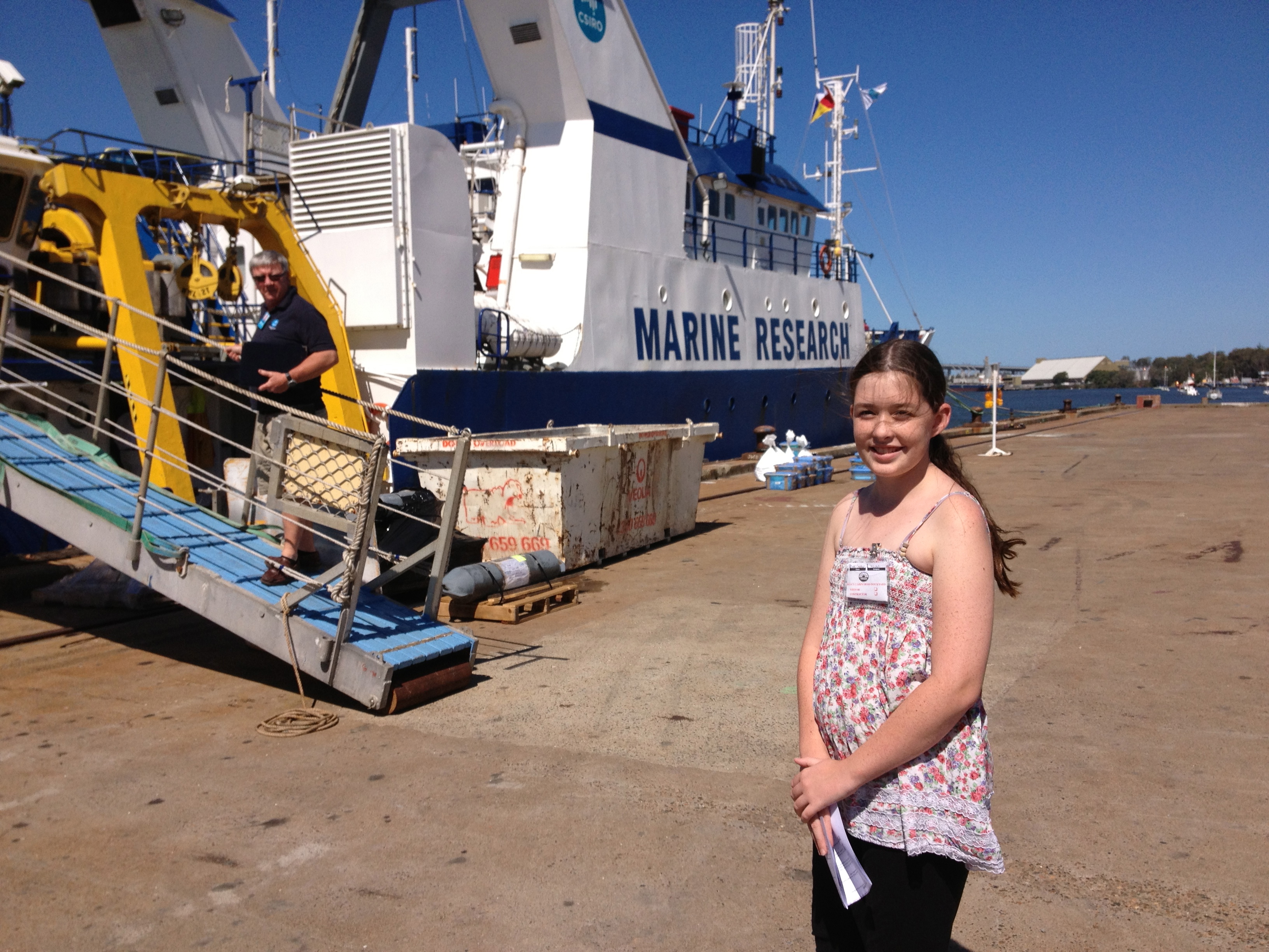
Three years ago 10-year-old Clare Cameron won a national competition to name Australia’s new Marine National Facility (MNF) research vessel. Clare’s entry, The Flinders Investigator, was the joint winner – the new ship has been named Investigator. Clare Cameron and her family toured the current MNF vessel, Southern Surveyor, met the scientists who’d returned from a research voyage to the Coral Sea and was presented with a LEGO® Investigator.
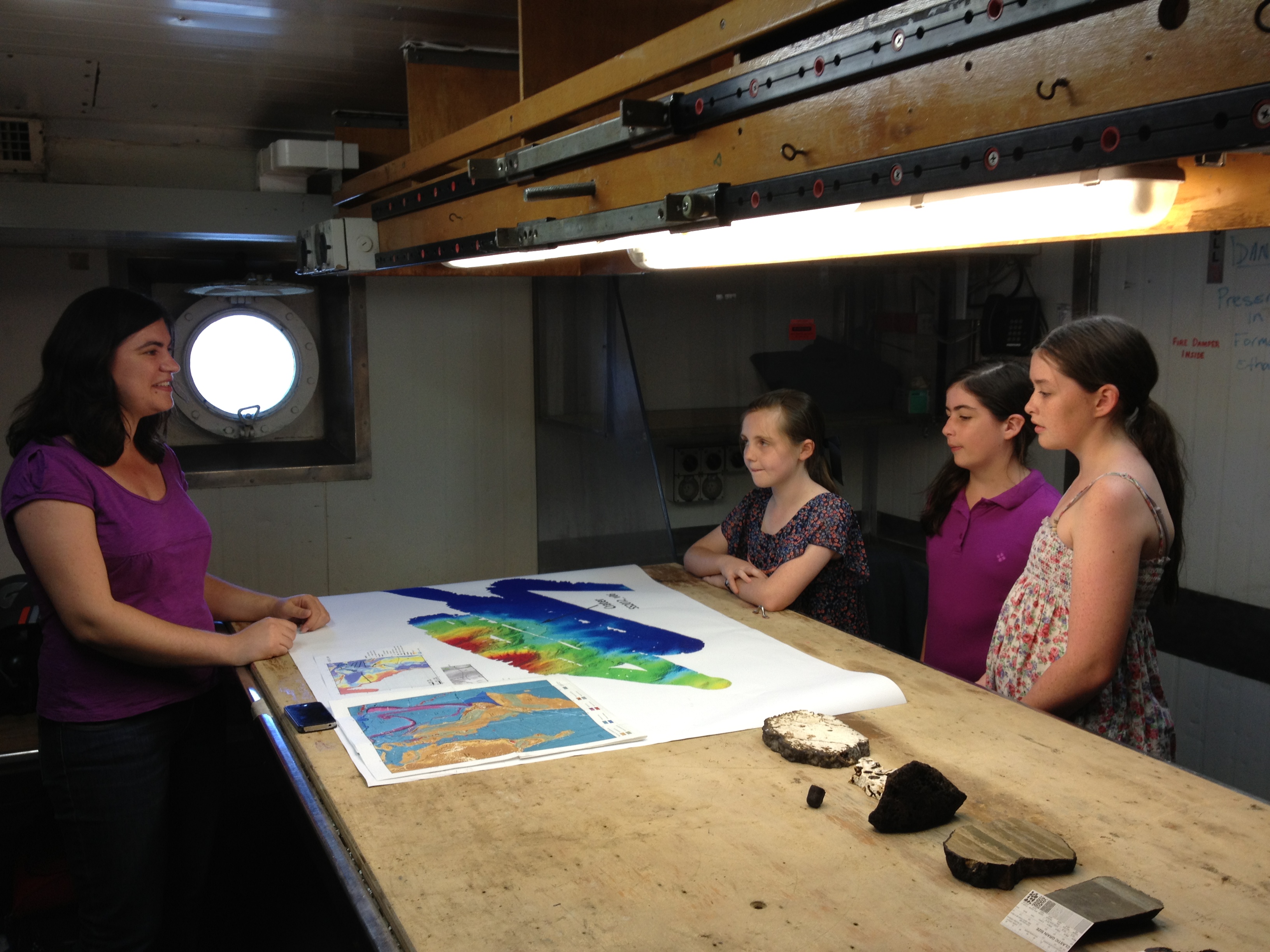
And, the research team onboard Southern Surveyor, ‘un-discovered’ Sandy Island. Dr Maria Seton from the School of Geosciences at The University of and her team were in the under-explored region between the Solomon Islands, Vanuatu and New Caledonia, taking rock samples from the ridges and plateaus at depths of up to 3.5 km. They were also endeavouring to map about 8000 km of seafloor and they took gravity and magnetic data, to help to better understand the type of crust that underlies the region and the age of these basins, to give a more complete geologic and tectonic history of the area, during the last one hundred million years.
At the outer limits of the Coral Sea, some of the maps the scientists were using showed a 26 kilometre long island, which was identified on the maps as Sandy Island. However, when Southern Surveyor arrived at the location, there was no island to be found. You can read more about the discovery in the media release below.
Here’s some of the global coverage of the ‘un-discovery’:
http://www.channel4.com/news/scientists-discover-sandy-island-doesnt-exist
http://www.abc.net.au/news/2012-11-22/australian-scientists-un-discover-pacific-island/4387012
http://www.bbc.co.uk/news/world-asia-20442487
http://www.cbc.ca/news/technology/story/2012/11/22/sci-south-pacific-island-missing.html
THIS ONLINE ARTICLE WAS PUBLISHED BY THE UNIVERSITY OF SYDNEY ON 23 NOVEMBER 2012 REGARDING THE RESEARCH VOYAGE:
When is an island not an island?
In a reversal of the centuries-old tradition of explorers undertaking ocean voyages of discovery with the hope of finding new land, a scientific party has done the complete opposite.
A team of Australian and international scientists led by the University of Sydney has solved a mystery regarding the existence of a supposed island in the Southwest Pacific.
The detective work took place on the RV Southern Surveyor, Australia’s Marine National Facility research vessel during a research voyage aimed at understanding the tectonic evolution of the eastern Coral Sea.
“We became suspicious when the navigation charts used by the ship showed a depth of 1400 metres in an area where our scientific maps and Google Earth showed the existence of a large island,” said chief scientist Dr Maria Seton from the School of Geosciences at the University of Sydney.
The maps that the scientists were using are based on a combination of the CIA World Data Bank and the World Vector Shoreline Database. Even Google Earth shows a black blob in the area of the mythical island.
The rogue island has regularly appeared in scientific publications since at least the year 2000.
“So we decided to solve this modern day mythical island mystery. We found the navigational charts were accurate and there was no island in the area, so global maps including Google Earth need to be corrected.”
Dr Steven Micklethwaite from the University of Western Australia said, “We all had a good giggle at Google as we sailed through the island, then we started compiling information about the seafloor, which we will send to the relevant authorities so that we can change the world map.”
As well as mythbusting the existence of islands, the team have been collecting submarine data and rock samples from a little-explored part of the eastern Coral Sea. After 25 days at sea, they have collected 197 different rock samples, collected over 6800 kilometres of marine geophysical data and mapped over 14,000 square kilometres of the ocean floor.
Not only did they uncover rocks formed around 100 million years ago as Australia, Antarctica and New Zealand broke apart, but they also found extensive limestone samples at 3000 metres below the waves, revealing a massive drowning of the region over time.
The original copy can be found on the University of Sydney’s website: http://sydney.edu.au/news/84.html?newscategoryid=2&newsstoryid=10619&utm_source=console&utm_medium=news
