Remember the fabulous article in ECOS magazine about RV Investigator?
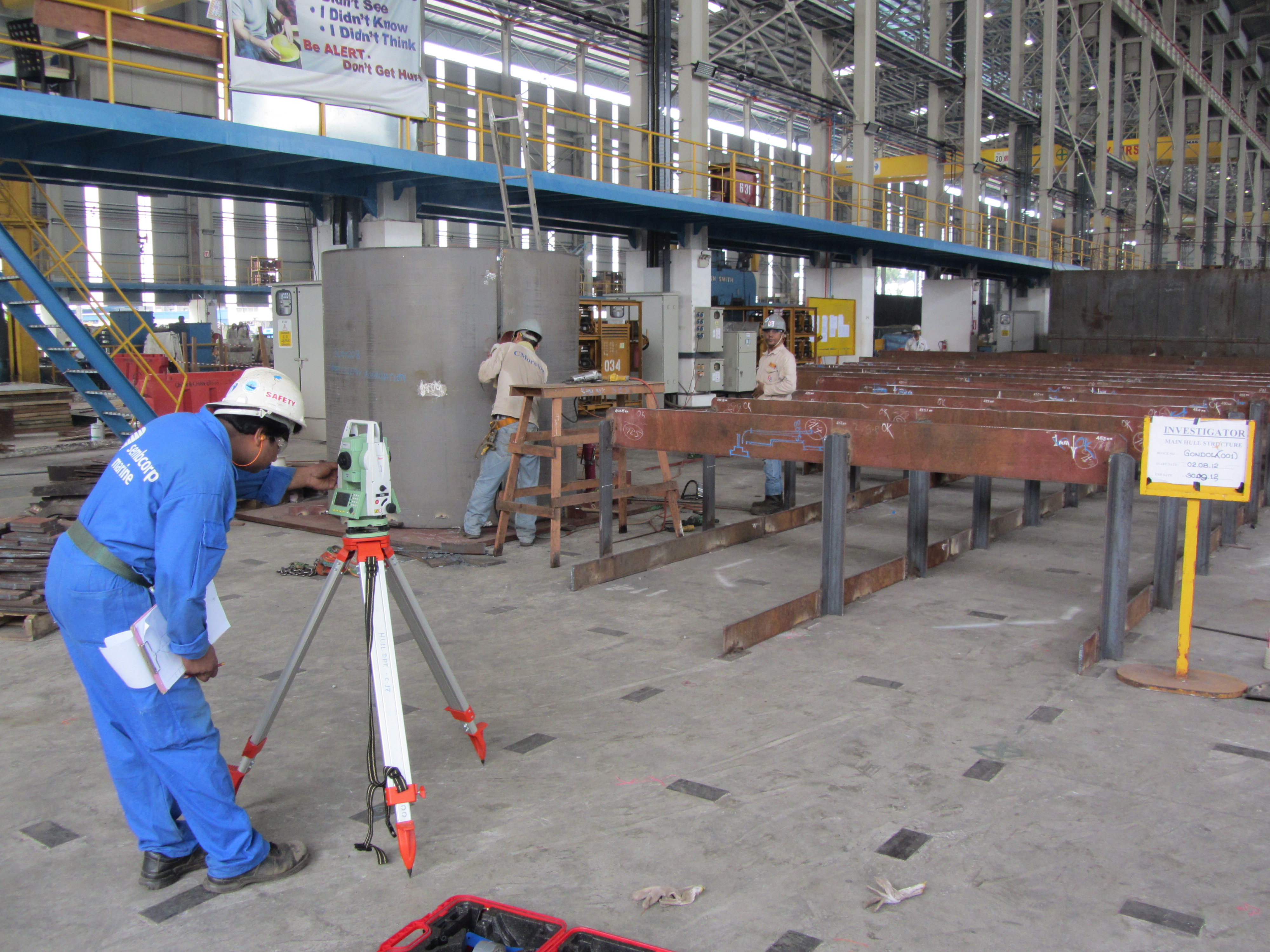
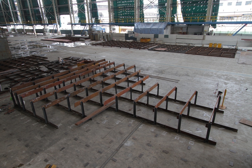
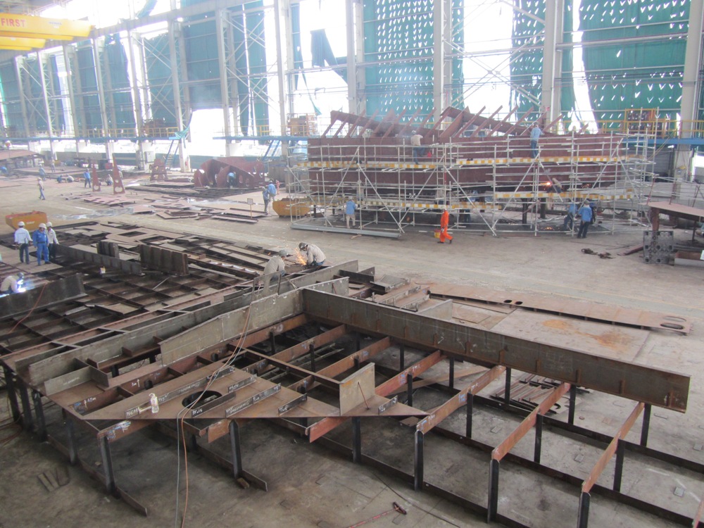
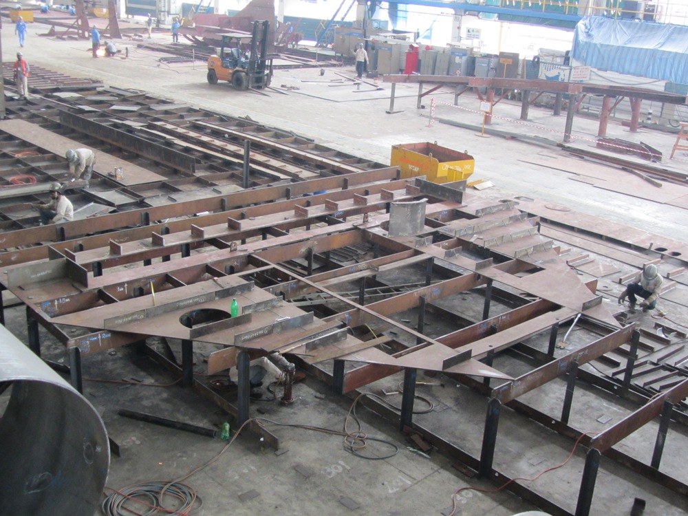
It included a great description of the gondola, what it will look like and how it will work. At the shipyard work has started on the gondola and here are the latest photos.


 And, here’s some of the transcript from the ECOS article to refresh your memory.
The article was written by our very own Dr Brian Griffiths, who is a member of the Future Research Vessel Project Team, and Michele Sabto from ECOS Magazine.
To get instruments down below the bubble layer, they will be carried on a large gondola, like a winged keel, mounted 1.5 metres below the hull. A lot of time has been spent running scale models of the hull in tanks, looking at where the bubbles might be generated. The gondola should operate at peak efficiency, because it will be well below the bubble zone.
At around 13 metres long and 9 metres wide, the gondola is able to carry several important acoustic instruments. These include two ‘swath mappers’ to map the seafloor. Swath mappers contain an array of transmitters that send out acoustic signal beam downwards and sideways, and then measure the signal strength and return time. This builds up a topographic map of the sea floor under the ship. One of the swath mappers operates down to about 500 metres and is used on the shelf and the upper slope for obtaining very high-resolution topographic maps of the sea floor. The other, a full ocean-depth mapper, will operate down to a depth of about 7 kilometres and at distances up to about 15 kilometres on each side of the ship – providing a swathe of the sea bottom 30 kilometres wide.
Sea floor maps are critical for understanding many of the geological processes occurring on the sea floor. For example, they can help with determining where undersea landslides – which can cause tsunamis – may occur.
The gondola also contains an instrument that can indicate the makeup of sediments in the sea floor. Sedimentation processes are critical for a whole series of geoscience capabilities. The ‘sub-bottom profiler’ emits a signal that penetrates up to about 25 metres in sand and about 100 metres in loose sediments. The return signal allows the layers of mud, sand and rock that make up the ocean floor to be displayed.
The full article can be read here http://www.ecosmagazine.com/?paper=EC12330.

