The amazing new sea floor mapping sonars on RV Investigator are so advanced they can map down to any ocean depth, including the deepest location in the ocean, the Mariana Trench at 10,994 metres.
Southern Surveyor operated as Australia’s Marine National Facility research vessel for a decade and it changed the way we did marine science with one piece of equipment, its sea floor mapping sonar. That technology could map down to 3,000 metres.
The amazing new sea floor mapping sonars on RV Investigator are so advanced they can map down to any ocean depth, including the deepest location in the ocean, the Mariana Trench at 10,994 metres.
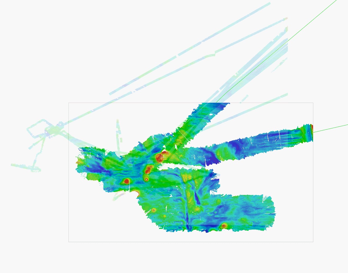
Here’s a great image that overlays data from outhern Surveyor with some from Investigator at the same location. The pale blue/green thin lines are from Southern Surveyor and the full colour is from Investigator.
At this location the sea floor is around 4,000 metres from the ocean surface. The Surveyor’s sonar systems were narrowed to focus beam as it was struggling to collect data, meanwhile Investigator’s beam, indicated by the detailed, full-colour imagery, stretches up to 30 kilometres wide.
Amazing!