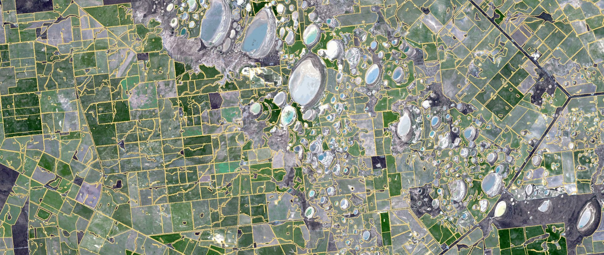
We’re mapping 1.7 million Australian paddocks from space
We’ve used satellite imagery to identify the boundaries of Australian paddocks from space. It will help farmers save time mapping paddocks each growing season.
Copy and paste this URL into your WordPress site to embed
Copy and paste this code into your site to embed